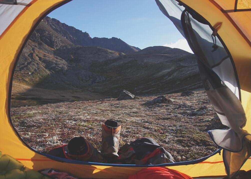
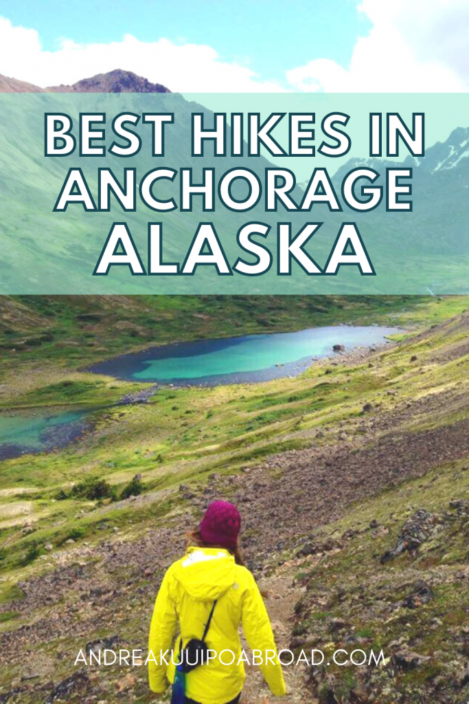
Looking for the best hikes in Anchorage, Alaska? From scenic views to alpine lakes, Anchorage has more than enough hiking trails to keep you busy.
The best thing about living in Anchorage is that one of the four largest state parks in the U.S. is located ONLY seven miles east of downtown!
The Chugach State Park covers 495,000 acres of land and it takes less than 30 minutes to access one of the many miles of hiking trails within the park.
There’s a ton of hiking trails nearby and I’ve been lucky enough to hike many of them throughout my time living in Alaska.
In this post, I’m going to share the most popular hikes in Anchorage, including my personal favorites, and directions on how to get to each trail.
You’ll also find a few of my favorite places to eat in Anchorage at the end of this post.
Where is Anchorage?
Anchorage is the largest city in Alaska and can be found in the Southcentral Alaska region of the state.
Chugach State Park Map
Most of these hikes within the Chugach State Park are accessed from the Glen Alps Trailhead.
View the Chugach State Park Hillside Trail System Map.
You can also view the Chugach State Park Map.
Best Hikes in Anchorage
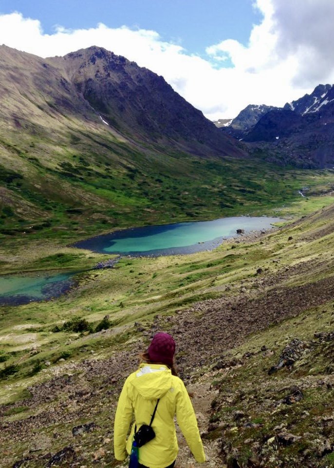
1. Little O’Malley Peak
Distance: 4 miles roundtrip
Time: 2 hours
Elevation Gain: 1,550 feet
Difficulty: Moderate
Little O’Malley Peak is one of the best day hikes in Anchorage and rewards you with amazing views of the city, Cook Inlet, and the surrounding Chugach Mountains.
This Anchorage hiking trail starts at the Glen Alps Trailhead. The trail follows Powerline Pass before dropping down into the valley.
You’ll cross a bridge and follow a wooden boardwalk before making your way up the steep gully or the new switchback trail.
Read the full trail guide: Hike Little O’Malley Peak
How to get to Little O’Malley Peak Trail in Anchorage:
From the Seward Highway, take the O’Malley Road exit heading East. Turn right onto Hillside Drive. Turn left onto Upper Huffman Road. Turn right onto Toilsome Hill Drive (Glen Alps Road). Turn left to stay on Glen Alps Road. Park in the Flattop / Glen Alps Trailhead parking lot.
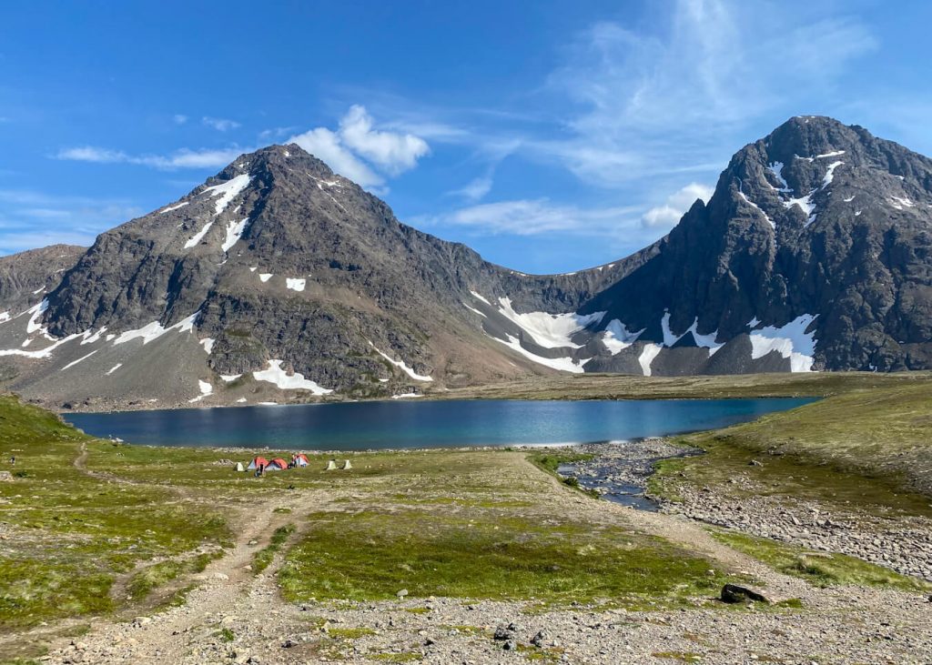
2. Rabbit Lake
Distance: 8.8 miles round trip
Time: 4 hours
Elevation Gain: 1,300 feet
Difficulty: Moderate
Rabbit Lake is a favorite hike for many locals in the Anchorage area. I really love hiking here when it’s hot enough to go for a swim in the lake.
Rabbit Lake is a beautiful alpine lake in the Front Range of Anchorage’s Chugach Mountains. The lake sits below two stunning peaks, North Suicide Peak and South Suicide Peak.
This trail is one of the most popular day hikes in the summer and there are plenty of chances to see wildlife like moose and bears. To reach the lake, it’s a long and steady climb, but not difficult.
Keep in mind it can be very windy on the Rabbit Lake Trail and parking is limited.
Read the full trail guide: Hike Rabbit Lake in Anchorage, Alaska
How to get to the Rabbit Lake Trail in Anchorage:
From the Seward Highway, take the De Armoun Road exit heading East. Continue on Upper De Armoun Rd. Take Canyon Road and Upper Canyon Road to Highland Road. The trail will be at the end of the road.
Read more: What to wear hiking in Alaska
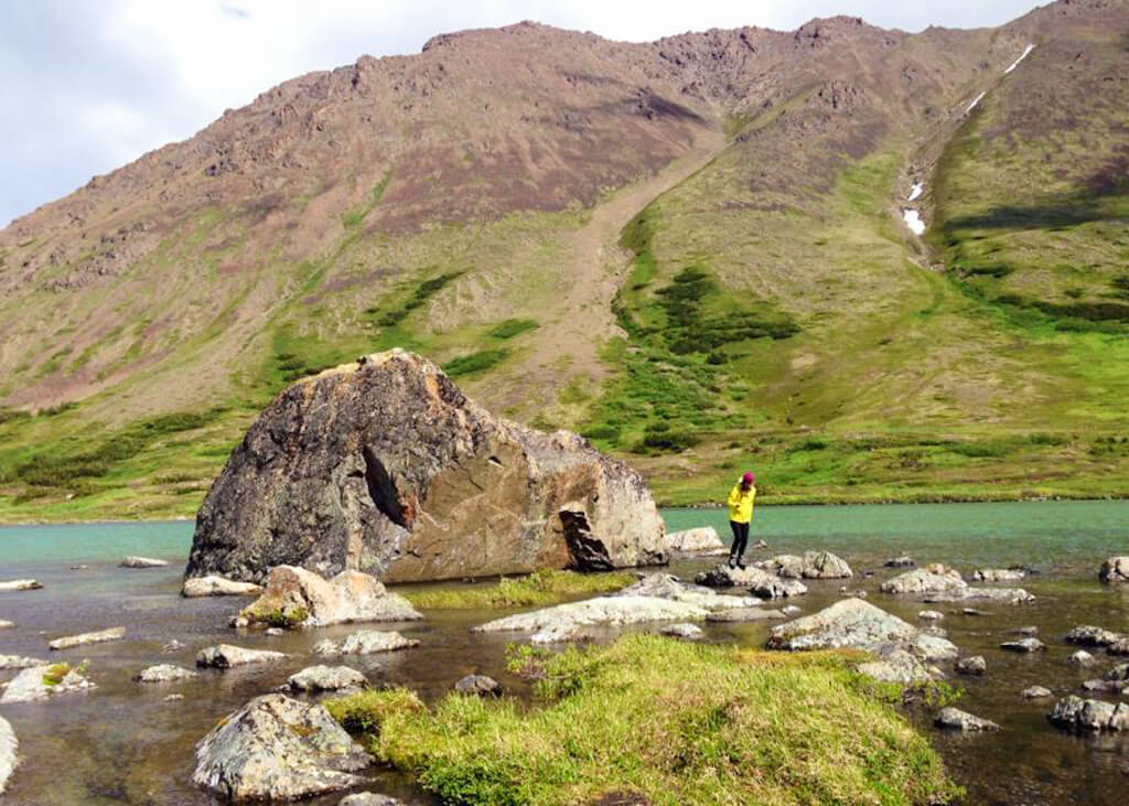
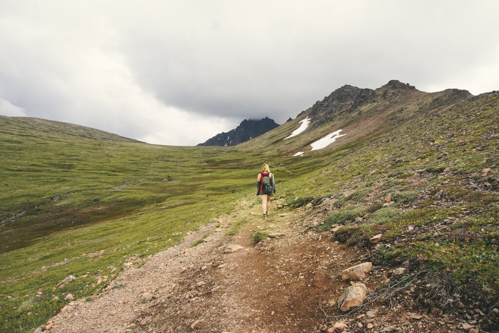
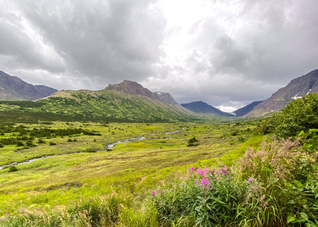
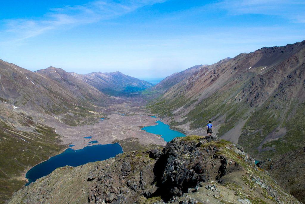
3. Williwaw Lakes
Distance: 16 miles roundtrip
Time: 7 hours
Elevation Gain: 800 feet
Difficulty: Moderate
Williwaw Lakes Trail will take you through a valley to several alpine lakes that sit below Mount Williwaw. This trail is great for a day hike and makes an amazing location for an overnight backpacking trip. You can pitch your tent at any one of the nine lakes in the valley.
You can access this hiking trail from the Glen Alps Trailhead or Prospect Heights Trailhead. I prefer starting from the Glen Alps Trailhead because it’s shorter and has less elevation gain.
Another way to hike this trail is by turning it into a loop by climbing up the O’Malley Gulley and over the Ballpark on the way in.
Keep in mind that there’s not much shade coverage and it can get really hot on a sunny summer day.
How to get to Williwaw Lakes Trail in Anchorage:
From the Seward Highway, take the O’Malley Road exit heading East. Turn right onto Hillside Drive. Turn left onto Upper Huffman Road. Turn right onto Toilsome Hill Drive (Glen Alps Road). Turn left to stay on Glen Alps Road. Park in the Flattop / Glen Alps Trailhead parking lot.
4. Hidden Lake
Distance: 9.4 miles roundtrip
Time: 5 hours
Elevation Gain: 1,000 feet
Difficulty: Moderate
Hidden Lake is another hike in Anchorage that is accessed from the Glen Alps Trailhead. The trail follows Powerline Pass Trail for 2.5 miles until you drop down into the valley and cross a small bridge before a 2-mile uphill climb to Hidden Lake.
A lot of people make this a bike and hike trip. You can find a bike rack just before the bridge crossing.
The trail ends at a beautiful tarn. It’s a great day hike in Anchorage and it’s a great place to camp overnight.
How to get to Hidden Lake Trail in Anchorage:
Follow the Seward Highway south until you reach the Hope Highway. Turn Right onto Hope Highway. Follow for 16 miles and turn left onto Palmer Creek Road/Resurrection Creek Road. Continue on Palmer Creek Road for 12.3 miles until you reach the end of the road and a small parking area.
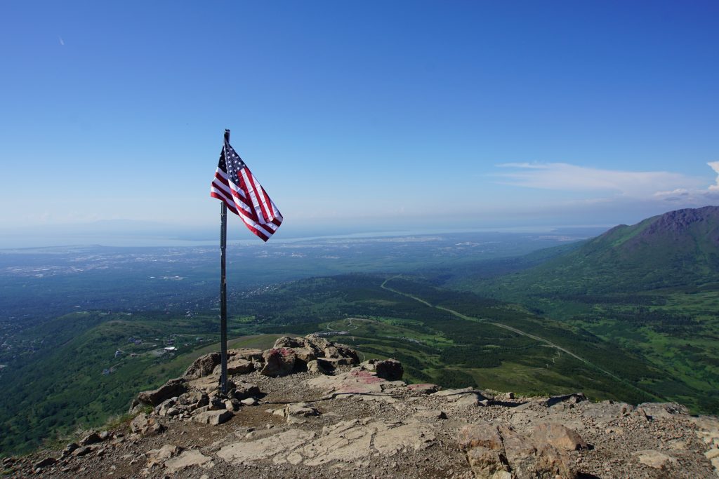
5. Flattop Mountain Trail
Distance: 3 miles roundtrip
Time: 1.5 hours
Elevation Gain: 1,500 feet
Difficulty: Moderate
Flattop Mountain is the most popular trail in the entire state of Alaska, likely because it’s one of the shorter hikes on the Kenai Peninsula.
It’s not my favorite hike because of how busy the trail can be but it’s one of the easiest ways to get amazing views of the city and it’s only 30 minutes away from downtown Anchorage.
There are plenty of different ways to hike Flattop Mountain and if you want a longer day hike, you can continue hiking to Peak 2 and Peak 3.
A lot of people tend to underestimate this trail, so please make sure to wear appropriate shoes and wear the right hiking clothes.
How to get to Flattop Mountain in Anchorage:
From the Seward Highway, take the O’Malley Road exit heading East. Turn right onto Hillside Drive. Turn left onto Upper Huffman Road. Turn right onto Toilsome Hill Drive (Glen Alps Road). Turn left to stay on Glen Alps Road. Park in the Flattop / Glen Alps Trailhead parking lot.
6. Flattop Sunnyside Trail to Peak 2
Distance: 3.15 miles roundtrip
Time: 2 hours
Elevation Gain: 1,795 feet
Difficulty: Moderate
Flattop Sunnyside Trail is an alternative way to hike up to Flattop Mountain. It’s usually less crowded than the Glen Aps Trail, but has gained a lot more popularity in the last few years.
This trail is also used to hike to Peak 2, Peak 3, and Flaketop Mountain. On a clear day, these mountain summits offer incredible views of Anchorage and the surrounding mountains.
Getting to Peak 2 is a short hike at only 3.15 miles round trip, so you only need a couple of hours to complete it.
Read the full trail guide: Hike Peak 2 Trail in Anchorage, Alaska
How to get to Flattop Sunnyside Trail:
From the Seward Highway, take the O’Malley Road exit heading East. Turn right onto Hillside Drive. Turn left onto De Armoun Road/Upper De Armoun Road. Keep right to continue on Canyon Road. Slight left to stay on Canyon Road. Continue onto Upper Canyon Road and continue onto Highland Road / Canyon Road.
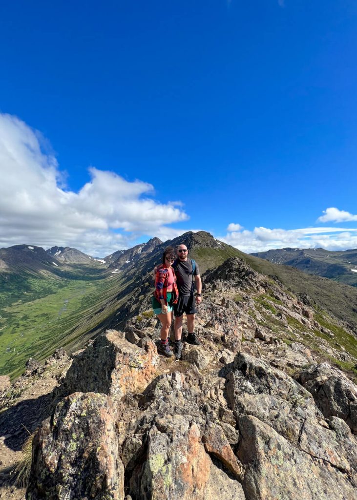
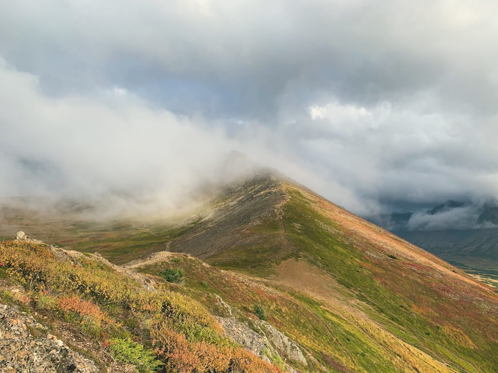
7. O’Malley Peak
Distance: 8 miles roundtrip
Time: 5 hours
Elevation Gain: 3,200 feet
Difficulty: Difficult
With a summit elevation of 5,184 feet, O’Malley Peak is one of the few 5,000-foot-plus summits in the Front Range.
This mountain peak is a great option for any hikers looking for a more challenging day hike.
The 8-mile round trip trail starts from the Glen Alps parking lot and follows the same trail as Little O’Malley until you get to the top of the gully.
Instead of heading left, you’ll head right to hike across the “Ballpark” or “Ballfield” before making your way up the scree slope and along the ridge to the summit.
How to get to O’Malley Peak Trail in Anchorage:
From the Seward Highway, take the O’Malley Road exit heading East. Turn right onto Hillside Drive. Turn left onto Upper Huffman Road. Turn right onto Toilsome Hill Drive (Glen Alps Road). Turn left to stay on Glen Alps Road. Park in the Flattop / Glen Alps Trailhead parking lot.
8. Green Lake
Distance: 10 miles roundtrip
Time: 5 hours
Elevation Gain: 800 feet
Difficulty: Moderate
If you’re looking for an easy but long hike in Anchorage, you’ll want to hike the Powerline Pass Trail to Green Lake.
Powerline Pass Trail is an 11-mile round trip trail that connects to Indian Valley. It follows a gravel service road through a valley with towering peaks on both sides.
There are a ton of trails that branch out from Powerline Pass Trail, but one of my favorite spots to hike to is Green Lake.
Green Lake can be reached by hiking 5 miles one-way. It’s a small lake but it makes a great place to spend some time.
It’s also a popular route for mountain bikers and the downhill on the way back is super fun! You can also plan an overnight backpacking trip here.
How to get to Green Lake in Anchorage:
From the Seward Highway, take the O’Malley Road exit heading East. Turn right onto Hillside Drive. Turn left onto Upper Huffman Road. Turn right onto Toilsome Hill Drive (Glen Alps Road). Turn left to stay on Glen Alps Road. Park in the Glen Alps Trailhead parking lot.
Best Hikes Near Anchorage
Outside of what’s considered Anchorage, there are also a ton of amazing hikes near Anchorage in the greater Anchorage Bowl Area.
All of these hikes I’ve listed are within a one-hour drive from the city.
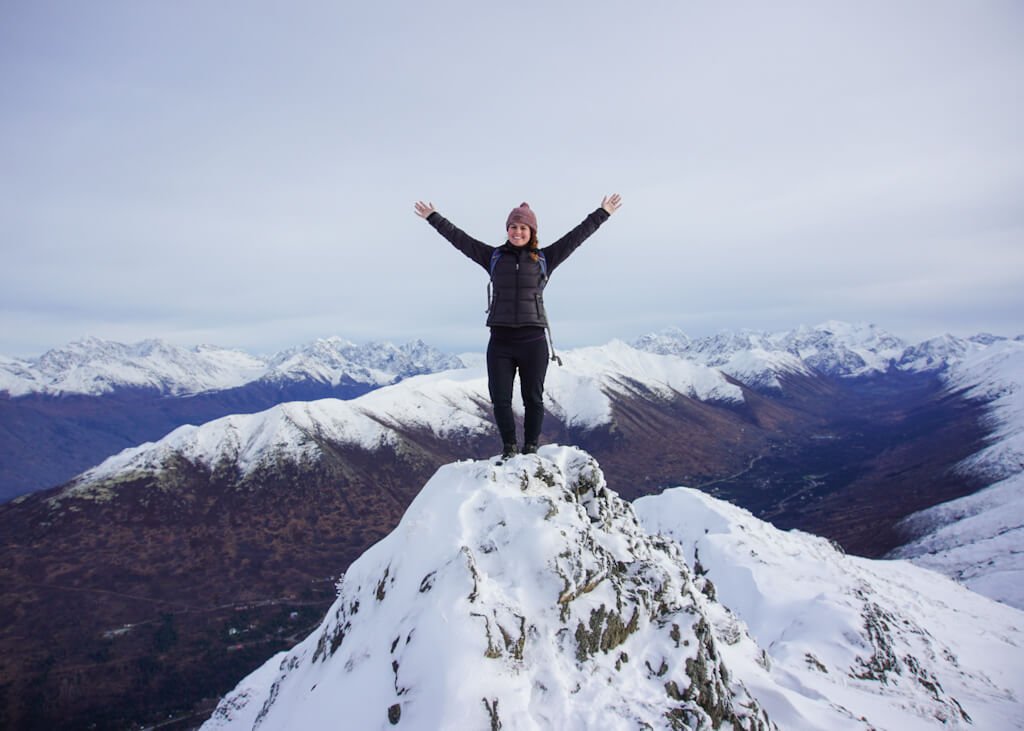
9. Mount Gordon Lyon
Distance: 4 miles roundtrip
Time: 2 hours
Elevation Gain: 2,000 feet
Difficulty: Moderate
Mount Gordon Lyons can be found in Arctic Valley near the ski area. It’s a 4-mile roundtrip hike that will take you around two hours to complete.
This hike can be accessed all year, but I do love hiking here in the winter when the summit is covered in fresh snow.
Read the full trail guide: Hike Mount Gordon Lyon in Arctic Valley
How to get to Mount Gordon Lyon in Arctic Valley:
From Anchorage, head north on the Glenn Highway. Exit the highway at Arctic Valley Road. Continue on Arctic Valley Road to Ski Bowl Road until you reach the end at the Arctic Valley Ski Area.
10. Symphony and Eagle Lake
Distance: 12 miles
Time: 5 hours
Elevation Gain: 850 feet
Difficulty: Moderate
Symphony Lake and Eagle Lake are two glacial lakes nestled in the Eagle River Valley. The 12-mile roundtrip trail is relatively flat with only 850 feet of elevation (most of it in the beginning).
The hike follows the South Fork Eagle River Trail and it’s one of the top hikes in Eagle River. I like to hike here when I’m looking for a mellow, but long hike near Anchorage.
Read the full trail guide: Eagle and Symphony Lakes Trail Guide
How to get to Symphony and Eagle Lake in Eagle River:
Take the Glenn Highway to the Eagle River Loop Road exit and take the first right at Hiland Road. Follow Highland Road for several miles and turn right on South Creek Road. Take another right on West Creek Drive. The parking area for the Eagle and Symphony Lakes trailhead will be on your left.
11. Mount Baldy
Distance: 3 miles
Time: 2 hours
Elevation Gain: 1,500 feet
Difficulty: Moderate
Mount Baldy is basically the Flattop of Eagle River. It’s a 3-mile hike that is easily accessible from town.
This popular trail in Eagle River is steep with some switchbacks, but the views from the summit are amazing as you can see Denali from here.
To increase the length of your hike, continue on to Black Tail Rocks and Round Top. They offer great views of the glacial valley below.
How to get to Mount Baldy in Eagle River:
Take the Glenn Highway to the Eagle River Loop Road exit and follow for a few miles before turning right onto W Skyline Drive. Continue straight onto Jamie Drive. Continue onto McCrary Road. Turn right onto Upper Skyline Drive. Upper Skyline Drive turns right and becomes Canyon View Drive. Canyon View Drive turns slightly left and becomes Golden Eagle Drive. At the end of the road, you will find the trailhead parking.

12. Barbara Falls
Distance: 1 mile
Time: 1 hour
Elevation Gain: 101 feet
Difficulty: Very Easy
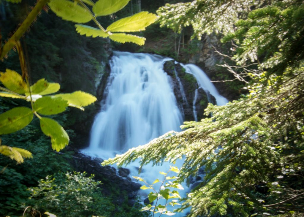
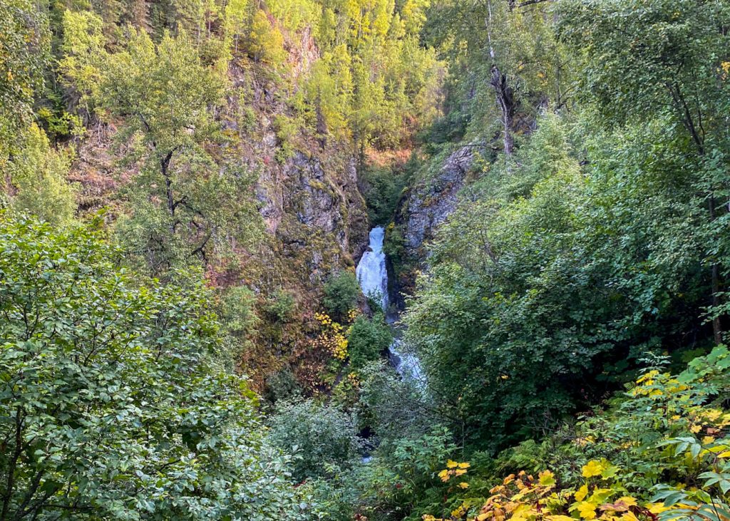
Barbara Falls, commonly known as South Fork Falls, is an easy waterfall hike near Anchorage.
It’s tucked away in a quiet neighborhood in Eagle River, so please respect the private property and parking signs.
The waterfall hike has two different viewpoints, an upper viewpoint and a lower viewpoint. It’s one of the quickest hikes to a waterfall in the area.
You can visit the waterfall year-round, and I love seeing it in all different seasons because both the summer greenery and winter icicles are incredible to see.
Read the full trail guide: Hike Barbara Falls
How to get to Barbara Falls in Eagle River:
Take the Glenn Highway to the Eagle River Loop Rd exit and take the first right at Hiland Rd. Turn left at River View Dr, left at Waterfall Dr., right on River Park Dr., and left on Ken Logan Circle. The parking for the Barbara Falls trailhead is in a cul-de-sac and the trail starts behind the metal gate.
13. Thunderbird Falls Trail
Distance: 1.28 miles roundtrip
Time: 1 hour
Elevation Gain: 100 feet
Difficulty: Easy
Thunderbird Falls Trail is an easy hike in the Chugach State Park that leads to a waterfall. It’s only 1.28 miles round trip and it will take you less than an hour to hike out and back.
This makes it a good hike for families with young children.
From Anchorage, it’s a quick 30-minute drive north, but I don’t recommend planning your entire day around this hike as the views aren’t as impressive as many others nearby.
Instead, add it as a stop in or out of Anchorage as it’s a great place to stretch your legs for a bit.
Read the full trail guide: Hike Thunderbird Falls in Chugiak, Alaska
How to get to Thunderbird Falls in Alaska:
From Anchorage, head north on the Glenn Highway. Take the exit towards Thunderbird Falls.
14. Twin Peaks Trail
Distance: 5 miles roundtrip
Time: 2 hours
Elevation Gain: 1,800 feet
Difficulty: Moderate
Twin Peaks Trail is the perfect trail to hike if you want to see panoramic views overlooking Eklutna Lake.
This 5-mile roundtrip hike will take you up switchbacks to a couple of benches. Reaching the first bench will reward you with beautiful views, but the views are even better at the second bench.
This trail also connects to Pepper Peak, which is another popular hike in the area.
Or you can continue hiking up to the summit of East Twin Peak, but this is done by more experienced hikers.
How to get to Twin Peaks Trail:
From Anchorage, head north on the Glenn Highway. Take the exit toward Eklutna. Drive to Eklutna Lake Road and follow until you reach the last parking lot, which is the Eklutna Lake Recreation day use area.
15. Winner Creek
Distance: 6.4 miles
Time: 3 hours
Elevation Gain: 500 feet
Difficulty: Easy
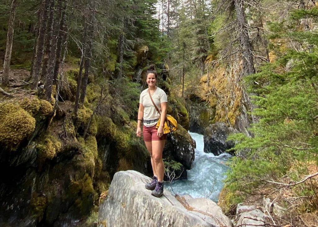
Winner Creek Trail is the most popular hike in Girdwood because of the Winner Creek hand tram. It was always super fun to pull yourself across the creek by hand but unfortunately it closed down in 2021.
Winner Creek Trail is still a stunning trail to hike as it follows a wooden boardwalk through a spruce and hemlock forest and leads you to a gorge with a picturesque series of small waterfalls and cascades.
Read the full trail guide: Hike Winner Creek Trail
How to get to Winner Creek Trail:
Follow the Alyeska Highway until you get to the T-intersection. Take a left onto Arlberg Ave and you will find Alyeska Resort at the end of the road. Access to Winner Creek Trail can be found behind the tram building at Alyeska Resort.
16. Crow Pass
Distance: 23.1 miles
Time: 12 hours
Elevation Gain: 2,100 feet
Difficulty: Difficult
Crow Pass Trail is one of the longer hikes in the area and it’s one of my favorite backpacking trails in Alaska. I’ve hiked this trail with a large group of friends and it was so much fun!
Crow Pass is best hiked from Girdwood to Eagle River because it’s mostly all downhill.
If you don’t want to do the full point-to-point hike then I recommend hiking to the top of the pass to Crow Pass Cabin, Crystal Lake, or Raven Glacier.
How to get to Crow Pass Trail:
From the Alyeska Highway, turn left onto Crow Creek Road. Crow Creek Road turns slightly left and becomes Pack Trail. You will find parking for Crow Pass Trail at the end of the road.
17. Byron Glacier Trail
Distance: 3 miles
Time: 1 hour
Elevation Gain: 800 feet
Difficulty: Easy
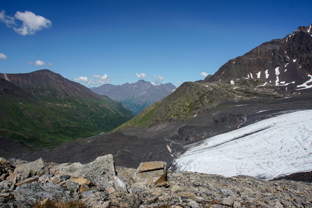
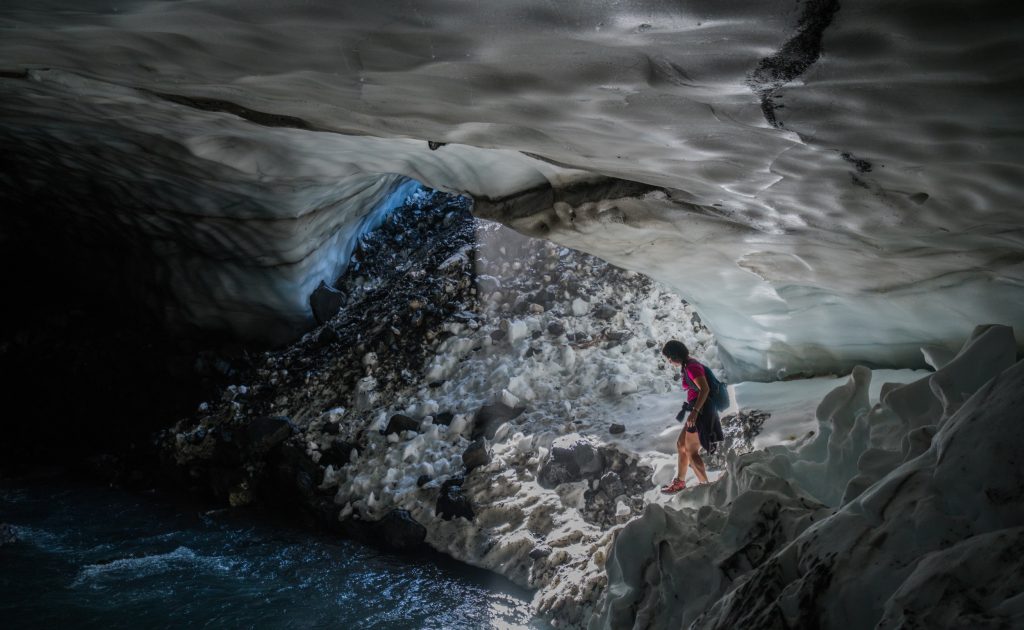
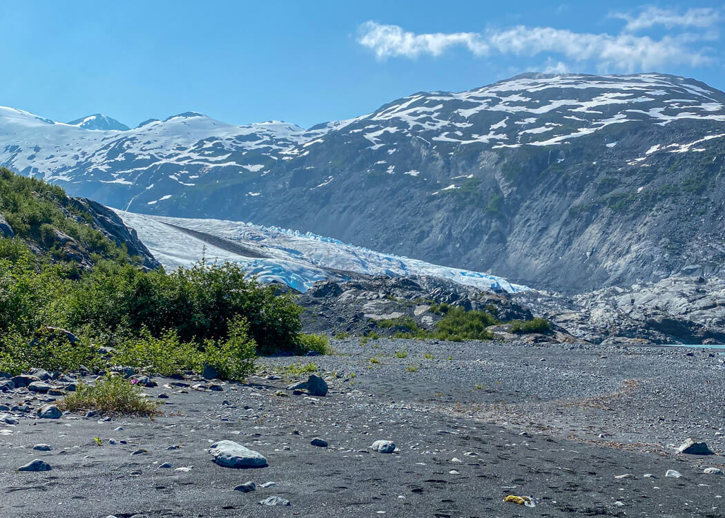
Byron Glacier is a glacier found in the Portage Valley, south of Anchorage. It’s one of the easiest glacier hikes near Anchorage and a great place to explore ice caves.
The trail is mostly flat, which makes an easy trail for families and all fitness levels. The main trail ends when you reach the benches, and offers views of Byron Glacier.
Beyond the bench, there is no real trail to follow. You will have to scramble over a boulder field or cross the river if you want to find some of the ice caves, but keep in mind this area is not recommended to travel in spring or winter due to avalanches and rock falls.
How to get to Byron Glacier in Portage Valley:
Take the Glenn Highway South for 48 miles. Turn left towards Portage at Portage Glacier Road. Follow Portage Glacier Road for 6.5 miles. Keep right to continue on Portage Lake Loop, follow signs for Portage Glacier/Begich Boggs Visitor Center. Turn right onto Byron Glacier Road. The parking area for Byron Glacier trailhead will be on your right, one mile down the road.
18. Portage Pass Trail
Distance: 4 miles
Time: 2 hours
Difficulty: Easy
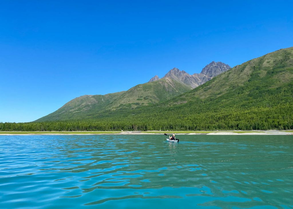
Portage Glacier is a popular glacier to visit in the Chugach National Forest, whether it’s by hiking, kayaking, or taking a cruise boat.
During the summer, you can hike the 4-mile Portage Pass Trail. The trail can be found in Whittier, which is a common cruise port in Alaska.
If you are looking for a hike to do while in town, then this is a great one. At the top of the pass, you can see Portage Glacier and views back towards Prince William Sound.
You can hike down to Portage Lake, but if you want to get up close to Portage Glacier you will have to cross a couple of creeks. Sometimes the creek is less than knee-high deep, which makes it not too challenging.
Read the full trail guide: How to See Portage Glacier: Summer vs Winter
How to get to Portage Glacier from Anchorage:
Take the Glenn Highway South for 48 miles. Turn left towards Portage at Portage Glacier Road. Follow Portage Glacier Road for 6.5 miles. Keep right to continue on Portage Lake Loop, follow signs for Portage Glacier/Begich Boggs Visitor Center.
19. Turnagain Arm Trail
Distance: 9.5 miles one-way
Time: 4 hours
Elevation Gain: 1,000 feet
Difficulty: Moderate
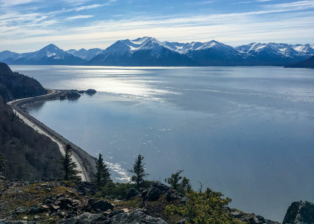
The Turnagain Arm Trail follows the Turnagain Arm and the Seward Highway south of Anchorage.
The trail is 9.5 miles one-way and can be accessed from multiple places, including Potter Trailhead at Mile 115, McHugh Creek Trailhead at Mile 112, Rainbow Trailhead at Mile 108, and Windy Corner Trailhead at Mile 106.
The views along the trail are incredible as you are surrounded by the mountains and the sea.
It’s also a great spot for wildlife viewing as you can see bald eagles, dall sheep, brown bear, and black bears. Be aware of your surroundings and carry bear spray!
How to get to Turnagain Arm Trail from Anchorage:
Take the Glenn Highway South until you reach the turnout for Potter Trailhead or other access points.
20. Bird Ridge Trail
Distance: 5 miles roundtrip
Time: 3 hours
Elevation Gain: 3,400 feet
Difficulty: Moderate
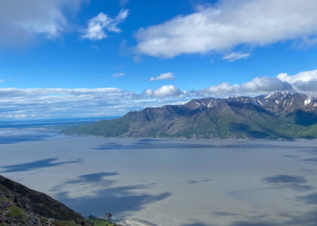
Bird Ridge Trail is a popular hike along the Turnagain Arm due to the spectacular views of Turnagain Arm and the Kenai Mountains from the summit.
The ascent to the top is steep as the elevation change from the start of the trail to the summit is 3,400 feet. After the ascent, you’ll follow the ridgeline to Bird Ridge Point at 3,505 feet.
How to get to Bird Ridge Trail from Anchorage:
Take the Glenn Highway South for 26 miles until you reach the turnout for the Bird Ridge Trail or Bird Creek Access parking areas.
Other Hiking Areas Near Anchorage
Where to Eat in Anchorage, Alaska
- Moose’s Tooth – The best pizza in town. Make sure to try the diablo sticks.
- Spenard Roadhouse – I recommend the bacon jam burger with a side of sweet potato tots + chipotle aioli dipping sauce.
- Tommy’s Burger Stop – The burgers here are awesome.
- Palmera – Latin fusion restaurant with amazing ceviche, chilaquiles, and smoothies!
- Pho Lena – The best (chicken) yellow curry around.
Read More
Waterfall Hikes Near Anchorage
Pin For Later
Do you have any questions about the best hikes in Anchorage? Leave them in comments.
