Jim Lake to Knik River is a 7.55 mile one-way float/paddle in Alaska’s Mat-Su Valley, just 45 minutes north of Anchorage.
This float trip within Knik River Public Use Area starts from a lake and takes you down a clearwater creek before entering a glacial-fed river. It’s a relatively chill and easy-going 3 hours and 15 minutes, which makes it a perfect half-day adventure.
Since Knik River is a cold, glacial-fed river, this section of the trip is recommended for intermediate paddlers only!
In this post, I’m going to share everything you need to know for kayaking Jim Lake to Knik River.
Jim Lake to Knik River Trip Summary
Traditional Land: Dena’ina (Visit Native-Land.ca to identify whose land you live, work, and play on.)
Distance: 7.55 miles one-way
Time: 3 hours and 15 minutes
Difficulty: Easy
Quick Tips
- Requires shuttling vehicles
- Best for intermediate paddlers
- Check the weather and wind forecasts
- Wear a life jacket
- Bring water
How to Shuttle Vehicles
Since this float trip is completed one-way, you need to arrange a vehicle shuttle and it’s best if you have two vehicles to do this.
We dropped one car off at the Jim Creek access on the S Old Glenn Highway, just north of the Old Knik River Bridge. Then we drove the other vehicle to Jim Lake.
How to Get to Jim Lake
Jim Lake access is located 48 miles north of Anchorage and it’ll take you about 45 minutes to drive there. Parking is free.
- From Anchorage, head north on the Glenn Highway
- Take the exit for S Old Glenn Highway
- Turn right onto E Maud Road
- Continue right onto Maud Road Exd to the end
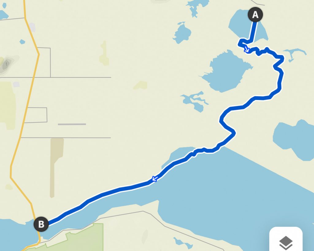
Jim Lake to Knik River Map
The total mileage to paddle from Jim Lake to Knik River is 7.55 miles.
- Jim Lake: 0.5 miles
- Jim Creek: 3.5 miles
- Knik River: 3.5 miles
Looking for another paddle in the area? Check out Rabbit Slough
Kayaking Jim Lake to Knik River in Alaska
Jim Lake to Jim Creek
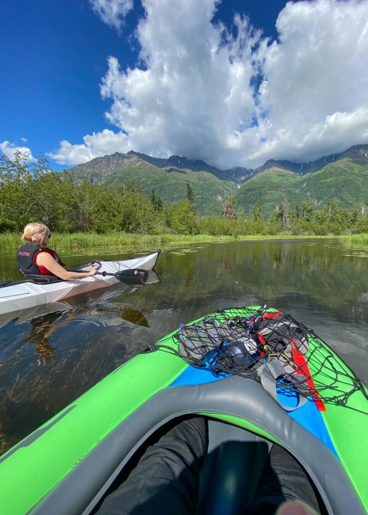
You will put in your canoe or kayak at Jim Lake in Palmer to start this one-way float trip. Jim Lake is a medium-sized lake and you will have to paddle directly across the lake to reach the portage into Jim Creek.
It’s about a half-mile paddle across the lake, which takes about 15 minutes. Since it’s a larger lake, it can get really windy here. Pack an extra layer!
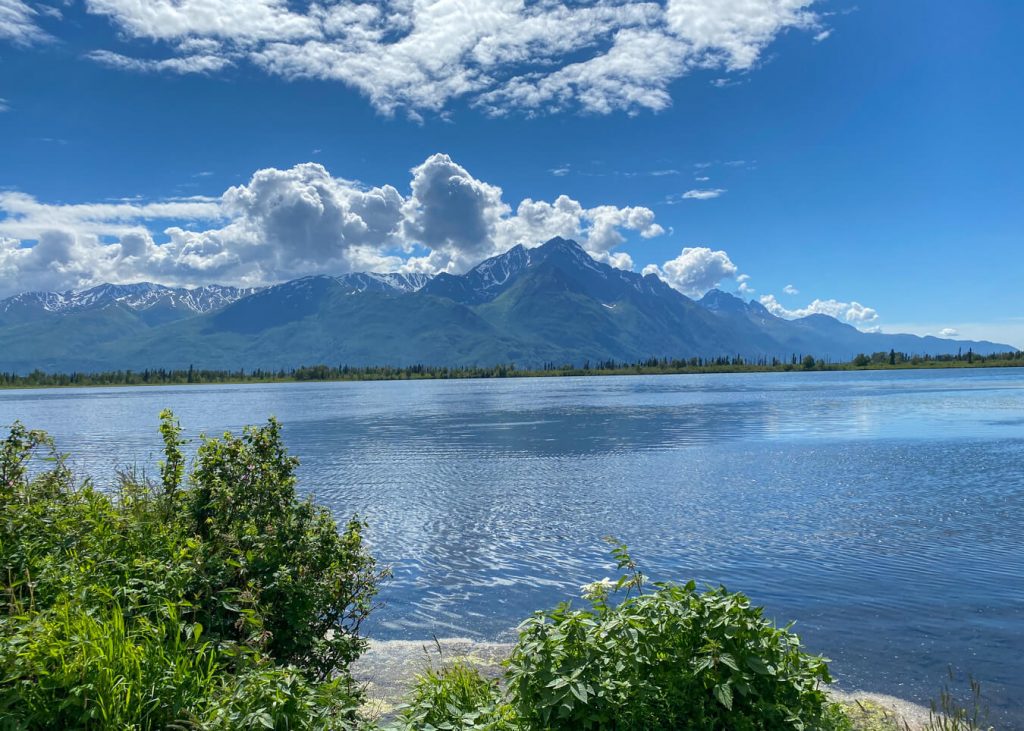
From the parking lot, it can be hard to see where the Jim Creek portage is located. Paddle in the southwest direction and you should reach it without issues. If you have trouble just hug the shore until you spot it.
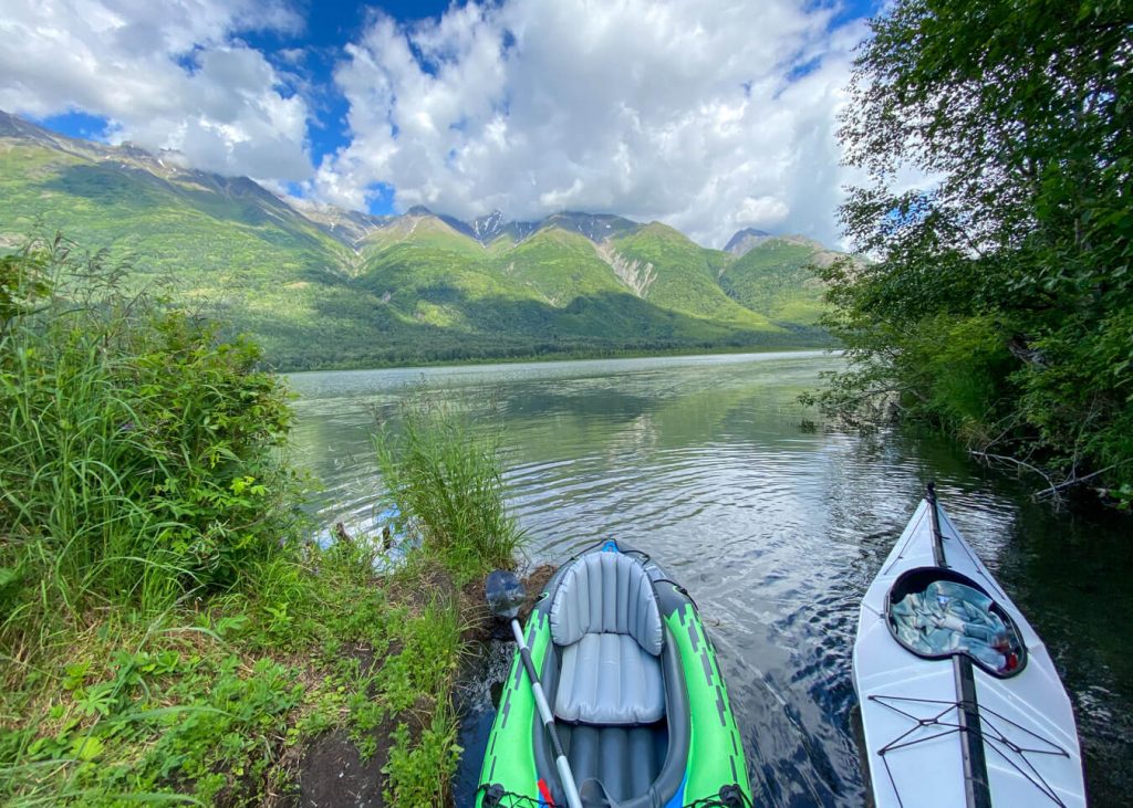
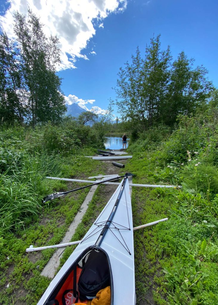
The Jim Creek portage is super short, which is really nice. There are some wooden boards and PVC pipe to make it easier to transport your boat across.
Jim Creek to Knik River
After you make the short portage from Jim Lake, you’ll head left down Jim Creek. The creek is really slow going and it basically feels like Alaska’s version of the bayou. Especially when you go on a 70-degree mid-summer day like we did!
There are lots of birds and also lots of visible leeches hanging out on the lily pads. You may even spot some salmon.
As you paddle farther down the creek, you will get some amazing views of Pioneer Peak!
About half-way down the creek, you will come across a confluence, stay right and continue paddling. If you’re hungry and packed a lunch, this is a good area to stop.
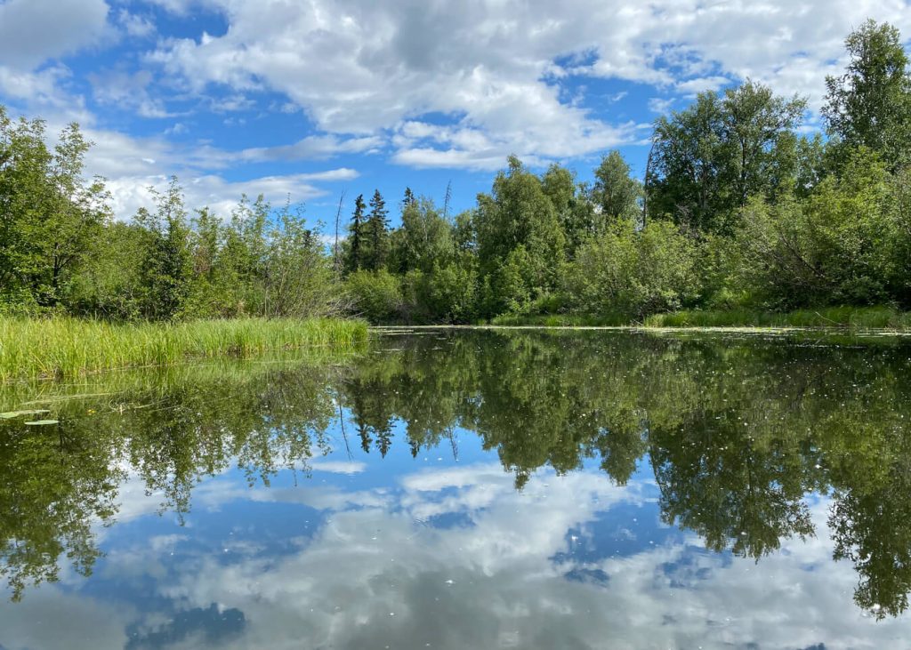
It’s a 3.5 mile paddle down Jim Creek to reach Knik River. This takes about 2 hours, depending on how fast you paddle.
NOTE: Knik River is a glacial-fed river. If you don’t feel comfortable paddling on Knik River, this is the place to turn around and paddle back up Jim Creek. As you near Knik River, the current downstream becomes much stronger, which makes paddling upstream more difficult.
Reaching the Confluence
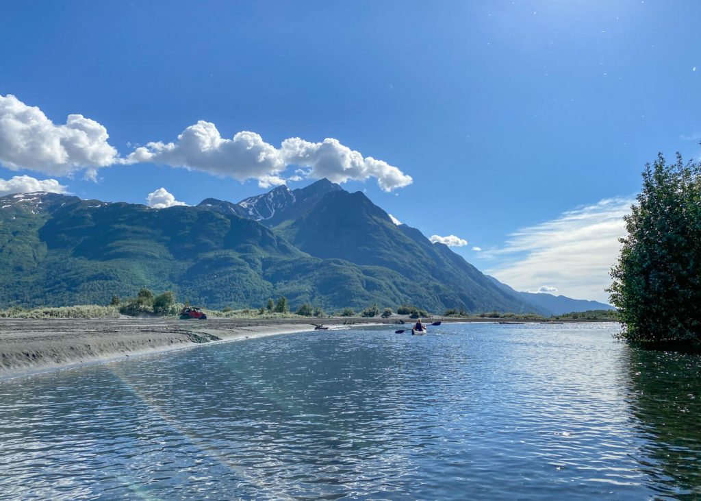
Eventually Jim Creek flows into Knik River. You’ll pass an area with sand dunes and this area can be super shallow. It’s so shallow that many ATVs cross this area.
The confluence is filled with silt so avoid using a rudder to avoid getting stuck and having to walk and drag your kayak for a little bit… like I did. Thankfully, this water is warm in the middle of summer.
Floating Knik River
Once you get onto Knik River, it’s about 3.5 miles to reach the Old Glenn Highway Bridge, which is where you can take out your kayak.
Knik River is glacial fed and very cold. It moves quite slow but I still recommend this trip for intermediate paddlers. Your choice of a kayak, canoe, pack raft, or even SUP.

The total trip mileage is 7.55 miles. We averaged 2.3 mph, which made it a super easy-going, relaxed paddle.
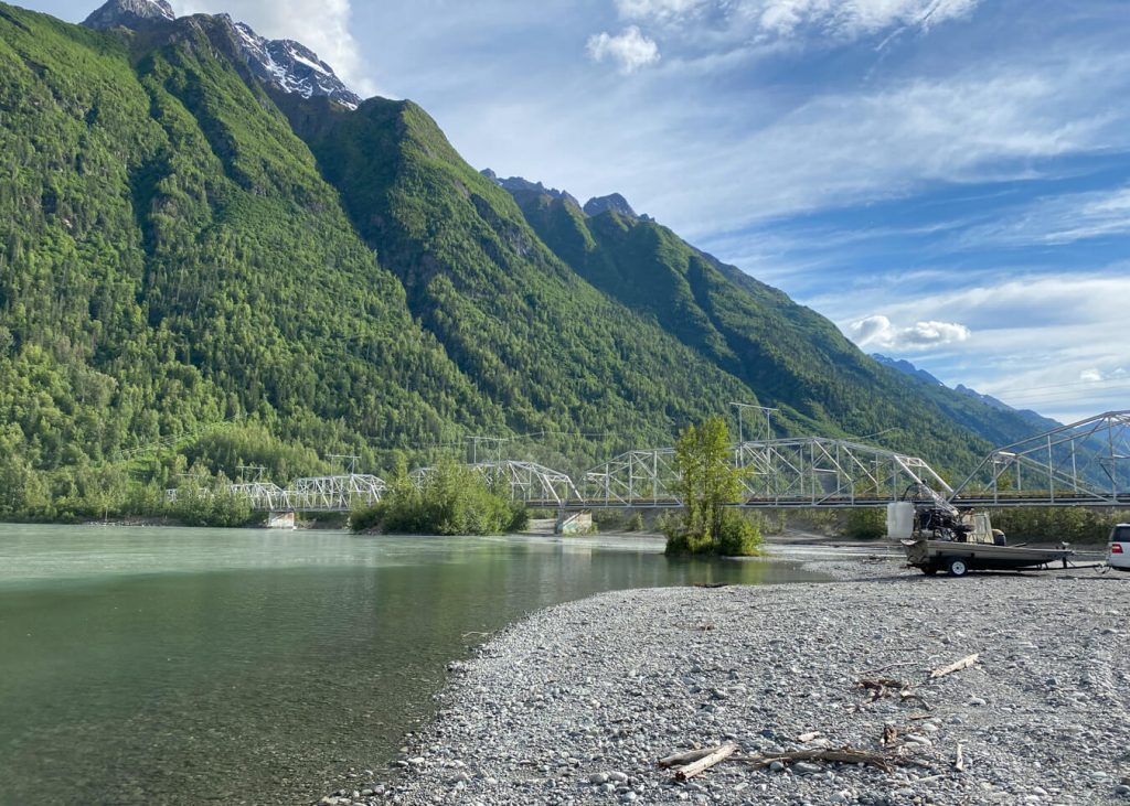
If you are here on the weekend, you will probably see other people on the creek and a few ATVs riding around Jim Creek.
Happy paddling!
Additional Information
When is the best day to float Jim Lake to Knik River?
Wednesday’s are the best day of the week to float the creek because the nearby shooting range is closed, which makes it a more peaceful experience.
Alternative Trips
Jim Lake is surrounding by many other lakes, including Gull Lake, Mud Lake, Leaf Lake and Swan Lake. You can also hop over to McRoberts Creek. If you don’t want to paddle down Knik River, you can make your own route exploring these nearby lakes.
For experienced paddlers, you can extend your trip by continue paddling on the Knik River all the way to the New Glenn Highway Bridge.
Safety
Always wear a life jacket. Watch out for shallow spots and drift logs. Check the weather and wind forecast prior to your trip.
Navigation
It’s helpful to use maps to check your location on the creek. I use a few different outdoor apps like Gaia and Earthmate. If you don’t have any apps, mark the route on Google Maps.
Pin For Later

Do you have any questions about Kayaking Jim Lake to Knik River in Palmer, Alaska? Let me know in the comments.

